
Best spring hikes in Southern Oregon
written and photographed by Ben McBee
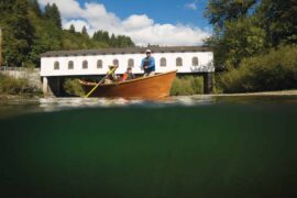
The north side of the state may have the Columbia Gorge, but Southern Oregon can rightly hold its own as a hiker’s paradise. Variety is the spice of life on these trails, and spring is the perfect time to take advantage.
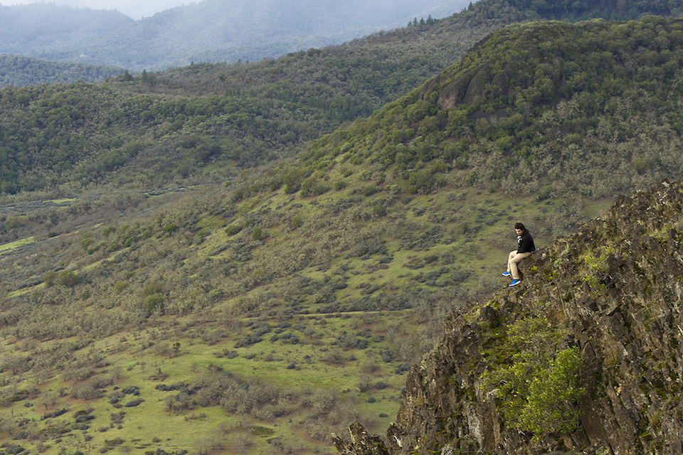
Pilot Rock | Ashland

Less than two miles from the California border, Pilot Rock is a 570-foot-tall volcanic plug that rises up from the Soda Mountain Wilderness. Since 1942, nine planes have crashed into it or the surrounding mountains due to low visibility in inclement weather. Out and back, the trail is 2.8 miles and meets up with the Pacific Crest Trail for a short span. At its base, meadows of blossoms are a buffet for several different species of butterfly and peregrine falcons nest on its precipice. To reach its peak, you can scramble up a nearly vertical seam in the columnar rock, but take care. While not for the faint of heart, the reward is breathtaking; on clear days, Mt. Shasta, Mt. Ashland, and Mt. McLoughlin are all visible on the horizon.
Babyfoot Lake | Cave Junction
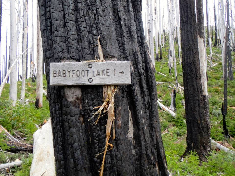
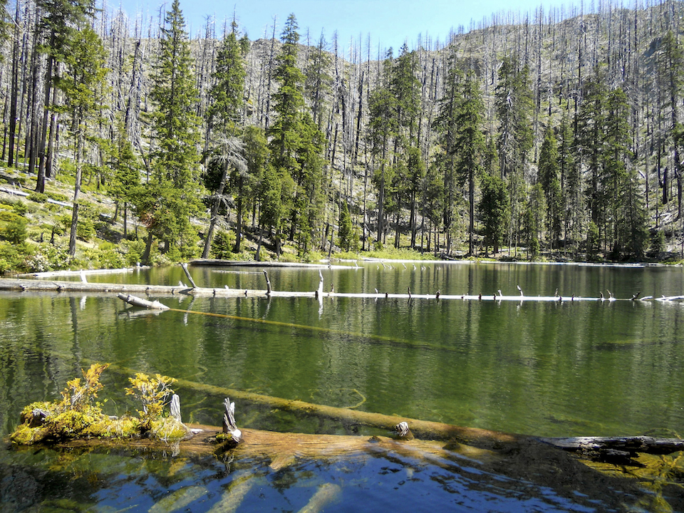
Babyfoot Lake is perhaps the most isolated of these hiking trails, but here the work you put in pays off in a spectacular way. To get to the lake, you’ll climb just over a mile up into an amphitheater ringed by craggy peaks. Travel through stands of charred trees, the towering victims of the Biscuit Fire, which burned half a million acres of the Rogue River-Siskiyou National Forest in 2002. In the years since, the area has returned to its natural vibrant green state, with pink Kalmiopsis flowers and otherworldly white bear grass carpeting the undergrowth. Babyfoot is stocked with trout and there are several nice campsites around its edge. If you’re brave enough, fallen snags provide a platform out over the crystal clear water, where visibility reaches 20-plus feet.
Watson Falls | Clearwater

Though nearby Toketee Falls may be more iconic, I find the hike to Watson Falls more enjoyable. The trail is short but steep, winding up along a talus slope to the base of the narrow, nearly 300-foot-tall waterfall. Along the way, well-constructed boardwalks cross over the creek, offering unique perspectives through the maple and evergreen trees. It’s an up-close-and-personal experience; look skyward and you’ll feel the mist on your face as it thunders over basalt overhang.
Upper and Lower Table Rocks | Central Point
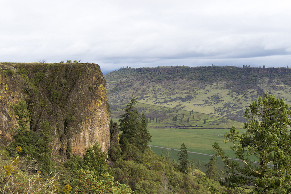
Growing up in the Rogue Valley, Upper and Lower Table Rocks were my go-to hikes. These horseshoe-shaped mesas, revered by the Takelma Indians, were formed over millions of years of erosion, leaving the denser lava plateaus exposed. Each trail is about 3 miles round-trip and will take you through scrub oak savanna and fields of multicolored wildflowers. With spring rain showers, vernal pools on the surface swell, creating habitat for minuscule fairy shrimp, a threatened species. Be sure to avoid disturbing their fragile ecosystems as you navigate the crisscrossing paths along the edge of the cliffs.
Redwood Nature Trail | Brookings

Just past Loeb State Park, you’ll find the Redwood Nature Trail by the banks of the Chetco River. On this 1-mile loop, you’ll walk through verdant glens of Douglas fir and oak, hung with thick moss. Huckleberry shrubs grow thick in the underbrush, as do ferns and redwood sorrel. A cascading brook splits into several ribbons as it runs past carpeted boulders underneath a picturesque bridge. As you climb, the redwoods start to appear more frequently as you enter old growth at the top of the ravines.