Corvallis to the sea will soon be possible, thanks to a new trail.
written by Amira Makansi
There is something alluring about the idea of hiking from one place to another without interruption. From the Pacific Crest to the Continental Divide to the Appalachian, hikers in America have tested their mettle against trails that span thousands of miles and traverse the breadth of the country. But you need
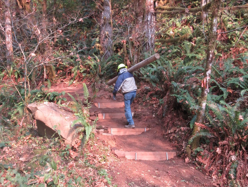
The Corvallis-to-the-Sea Trail Partnership has finished construction on the first half of a trail that will lead—as the name indicates—from downtown Corvallis through the coastal mountain range and finish at the Oregon Coast just north of Seal Rock. Parts of the trail will be accessible to equestrians and bicyclists as well. At present, only the fi
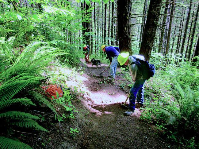
“There’s that sensation of nearing the coast on your own two legs,” said Gary Chapman, president of the Corvallis-to-the-Sea Trail Partnership. “You can smell it, you can feel it in the air. Arriving at the coast, taking your boots off, walking in the surf. It’s a definitive experience.” To him, the idea of being able to walk out his door in Corvallis and onto a stretch of trail that leads through the vast, largely unknown history of the coastal mountains and arrive at the end point of America, flush with saline air and salt spray—that is magic.
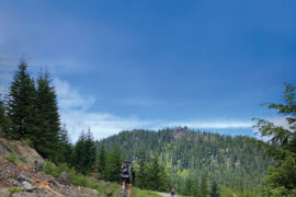
I wanted a taste of that magic. Like most Oregonians with a thirst for the outdoors, my summer months are spent with my camping gear in my car, my backpack neatly packed, my camp stove and camera always ready to go. So, one three-day weekend in September, I drove to Corvallis to do a day hike of the Corvallis-to-the-Sea trail with an old friend. The section we picked is a part of the Corvallis watershed, paralleling Woods Creek Road. The territory is all protected growth.
The light filtered through the trees, pale yellow and evanescent green in the dry season of this temperate rainforest. My companion, a longtime Corvallis resident and an avid backpacker, identified trees and plants as we walked. The biodiversity astounded me. Vine maple, salal, ocean spray and myriad edible berries—
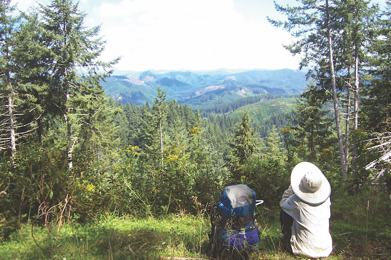
The Corvallis-to-the-Sea trail doesn’t have the same sweeping vistas or grand mountains you’d find in the Cascades. But it has two distinct advantages. First—for many, it’s close. Residents of Corvallis can be in the wild sections of the trail in ten to fifteen minutes, and from the surrounding
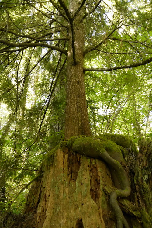
There’s more than meets the eye on this trail, with or without a knowledgeable plant guide to inform your hike. “There’s a lot of history out there,” Chapman said. “Much of the trail goes across old homesteads [from the nineteenth century] that have been lost because people couldn’t make any money out there. Those lands eventually became





It should be noted that only about 8 of the 60 miles of this trail are on existing or new trails. The remaining 52 miles are on existing forest roads and even paved roads or paved bike paths. Users crossing Starker Forests lands need a free permit, available at the Starker Forests office in Corvallis. Camping and campfire information can be found on the c2c website, http://www.c2ctrail.org/. Camping is not permitted on private lands on the c2c trail.
What was your ezperience in locating decent decent camp sites?