
From multi-day challenges to shorter routes, gravel biking takes you beyond the known
written by Jen Sotolongo
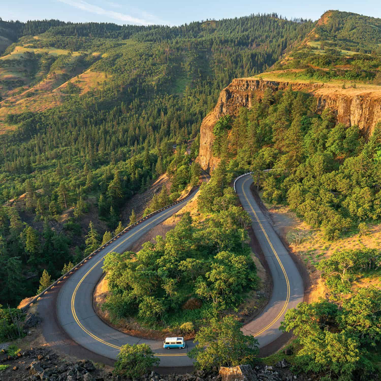
Over the past decade or so, gravel riding has emerged as an alluring cycling discipline. The draw of riding along oft-traveled dirt roads through remote areas filled with towering trees and breathtaking landscapes entices riders seeking a quieter and mostly car-free alternative to pavement without the skills required for mountain biking.
With more than 71,000 miles of unpaved roads throughout the state, Oregon stands out as a veritable haven for two-wheeled off-road adventure. Gravel bikes typically resemble road bikes, only accommodate wider tires and a more upright and longer frame for stability on the slippery gravel.
Ranging from hard-packed dirt to more humbling steep climbs and descents over loose rock, beginners and advanced riders alike can find a suitable gravel ride that meets their skill level. From single-day grinds to multi-day backcountry tours, here are three routes to entice you to consider exploring Oregon’s dirt roads.
45 MILES
Tidbits
This point-to-point ride starts and ends at two different lakes, has more elevation loss than it has gain, and contains a hidden waterfall. But don’t let that fool you into thinking that Tidbits is an easy ride!
Tidbits is a 45-mile mostly gravel ride that starts at Clear Lake just off of Santiam Pass, where the famous McKenzie River Trail begins. Rather than follow the path, you’ll cross the highway and follow mainly Forest Service roads to Blue River Lake.
The first 15 miles climb gradually over packed gravel roads through the Willamette National Forest sprinkled with intermittent views of surrounding mountains, rhododendrons and bear grass. From there, the going gets tougher with 2,000 feet of elevation gain over the next 20 miles thanks to a grueling series of short, but steep, hills, many with pitches more than 10 percent. The remaining miles introduce significant downhill portions before ending on pavement at Blue River Lake.
Wider tires are ideal for this ride, due to the steep pitches. Aim for 50mm or wider.
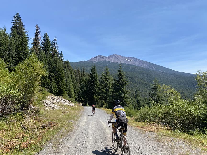
Photo by Linda English/Dirty Freehub
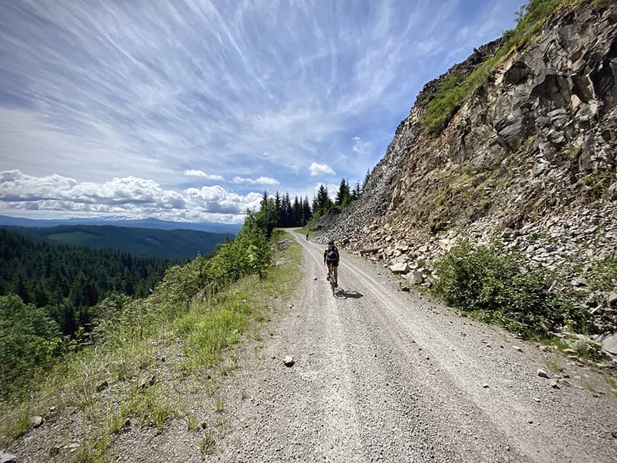
Photo by Kevin English/Dirty Freehub
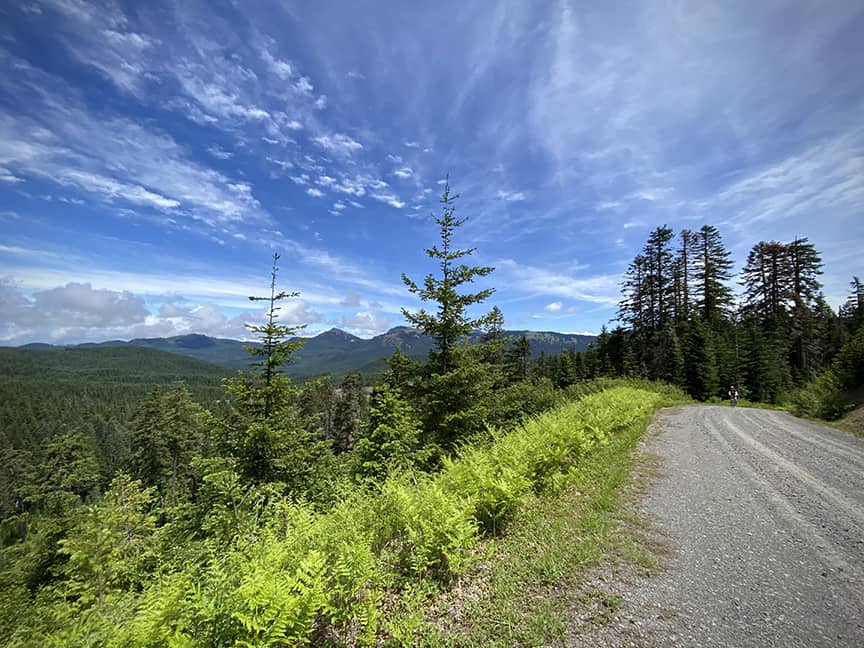
Photo by Kevin English/Dirty Freehub
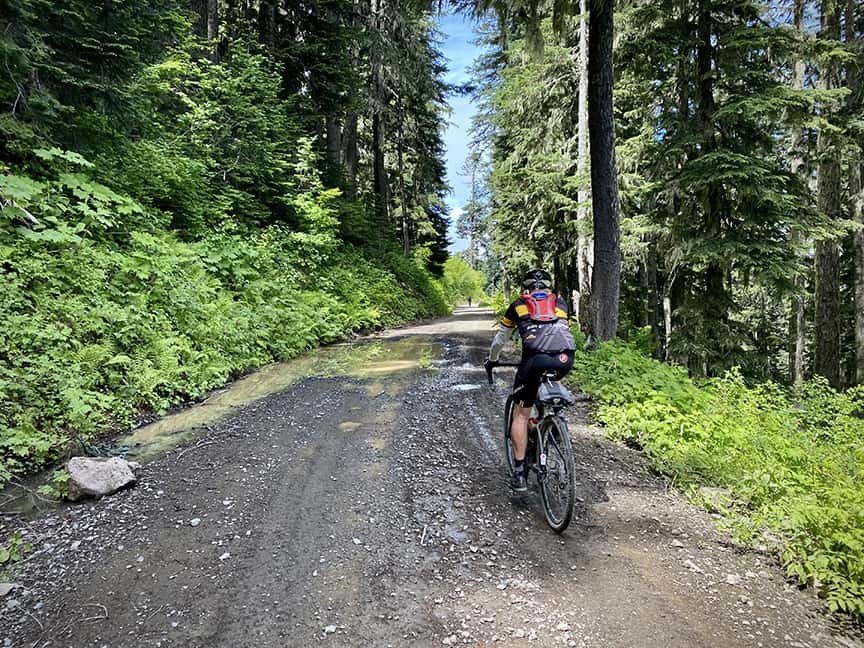
Photo by Kevin English/Dirty Freehub
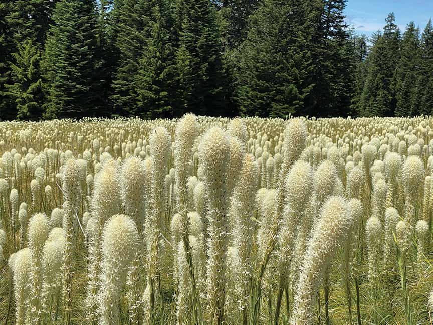
Photo by Kevin English/Dirty Freehub
124 MILES
The Oregon Stampede
Known as one of the original and best bike routes in all of Oregon, the Oregon Stampede ascends more than 9,000 feet of vertical gain in a 124-mile loop over some of the most remote and beautiful gravel roads in the state.
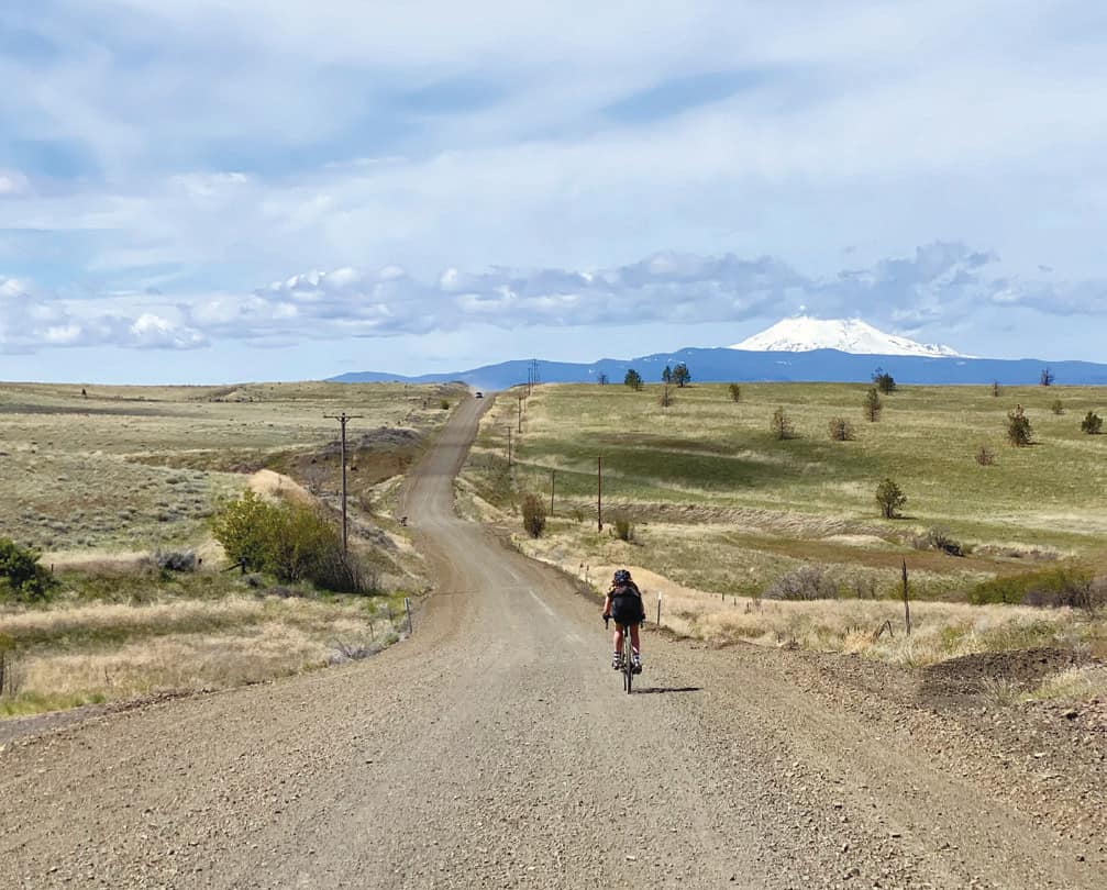
Photo by Kevin English/Dirty Freehub
The route begins and ends at the confluence of the Deschutes and Columbia Rivers in the Deschutes River State Recreation Area just east of The Dalles. The initial climb up Old Moody Road to the ridge above the river pays off with views of Mount Rainier and the Three Sisters in Central Oregon. Most of the route is easy riding over hard-packed dirt and gravel.
Treat yourself to a cozy bed at the historic Balch Hotel in the small town of Dufur where you can refuel at the on-site bistro. You’ll thank yourself for the indulgence in preparation for day two before dropping into the Tygh Valley, where you’ll encounter the toughest miles of the route: four rocky and steep hike-a-bike miles through the White River Wildlife Area, the pain of which will subside once you take in the roar of White River Falls.
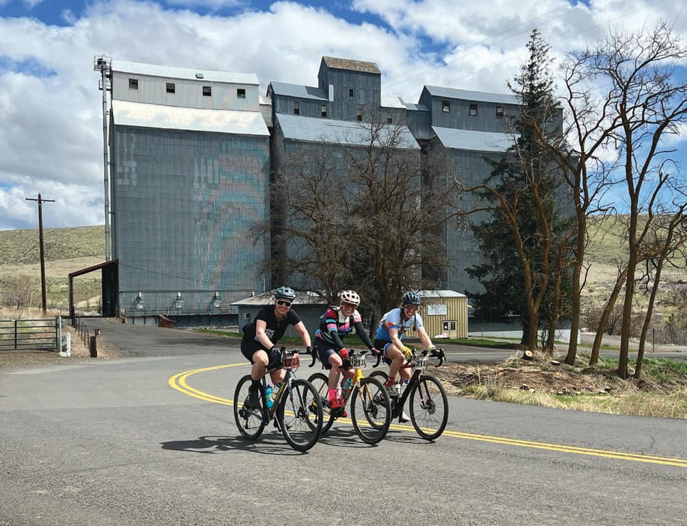
Photo by Linda English/Dirty Freehub
Once you cross the Deschutes at Sherar’s Bridge, you’ll experience the Deschutes from the drier, more expansive eastern side with wide open skies and plenty of tumbleweeds dancing across the road, an homage to the western culture of that part of Oregon.
A standard gravel bike or cross or touring bike with 32–37C tires should work for most people embarking on this route. If you’re planning to bike pack, wider tires in the 40c range will make the jaunt more enjoyable.
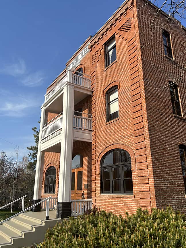
Photo by Linda English/Dirty Freehub
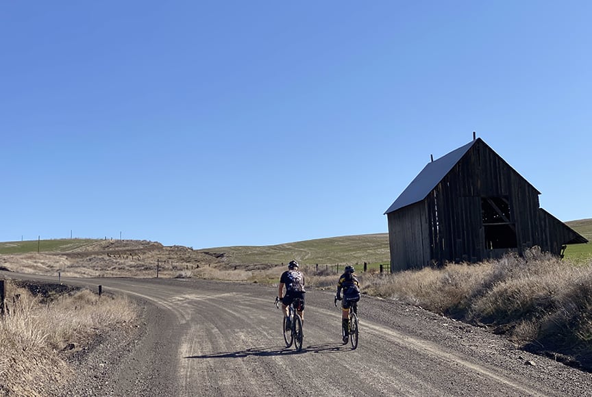
Photo by Kevin English/Dirty Freehub
56 MILES
Corvallis to the Sea Trail
The Corvallis to the Sea Trail (C2C) is the culmination of a nearly a half century-long vision that connects the Willamette Valley to the Oregon Coast, thanks to the efforts of dedicated volunteers, sponsors and private landowners. The 56-mile route begins in downtown Corvallis and ends at Ona Beach, just south of Newport.
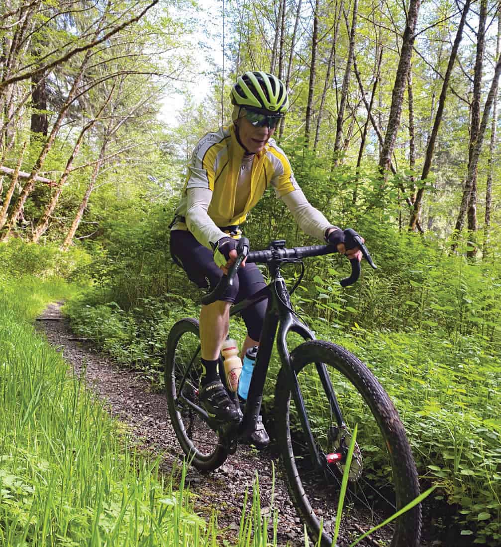
Photo by Linda English/Dirty Freehub
The trail consists of a biking and hiking route, some of which overlaps as it descends over remote logging roads, through picturesque countryside and navigates the rolling hills of the Coastal Range.
Most bike packers split the trip into two days, camping at the midway point at Big Elk Campground, which has a $5 hiker/biker camp. Either a gravel bike or hardtail mountain bike would suffice for the adventure, provided the setup includes wide tubeless tires, disc brakes and low gearing for the loose gravel and steep climbs.
Bikers must obtain a free permit from Starker Forests in order to pass through certain sections of the trail. The trail is open year-round, except for special or temporary restrictions imposed by the Forest Service or private landowners.
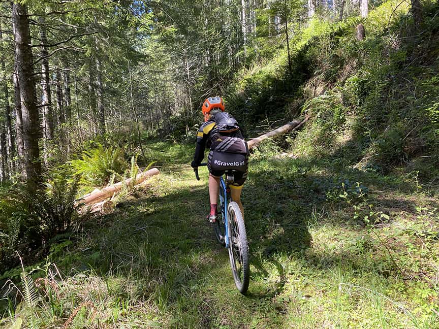
Photo by Kevin English/Dirty Freehub
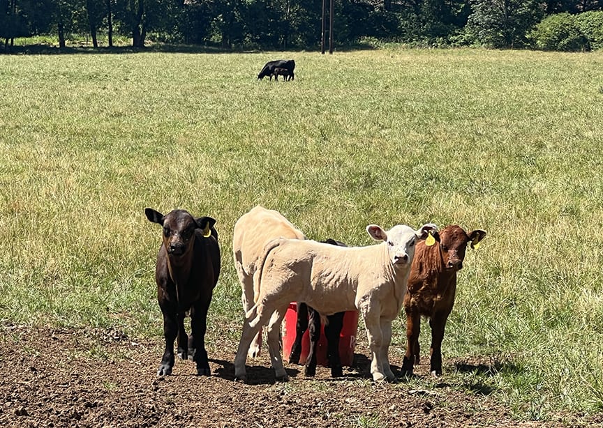
Photo by Linda English/Dirty Freehub
For even more gravel ride routes, check out Dirty Freehub at www.dirtyfreehub.org. The Bend nonprofit features curated guides for more than 8,000 miles of gravel riding across Oregon (and beyond!).