written by Peter Murphy | photos by Krista Rossow
Hike, Bike, Raft, Fish. Repeat. You’ll find all that along Highway 126, the McKenzie River Highway. Throw in dipping in geothermal hot springs—one with all the comforts of home and the other áu naturel.
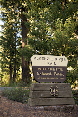
This is one of the most pleasant highways to drive in the state and is named for a Scottish-Canadian named Donald Mackenzie. In the early 1800s, Mackenzie roamed these parts hunting pelts for the Pacific Fur Company along the McKenzie River. The river, for which the highway is also named, drains the Cascades on the western shoulders of North, Middle, and South Sisters mountains and empties into the Willamette River north of Eugene.
Dropping from lava fields to fields of filberts (hazelnuts), the highway along the McKenzie River provides serenity, scenery and wonders to inspire the senses. It’s a rapid descent from the headwaters of the river at Clear Lake to the Willamette Valley, propelling the water at a brisk speed. This speed makes it a fun river to raft, though it can be cold and treacherous.
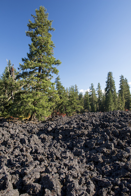
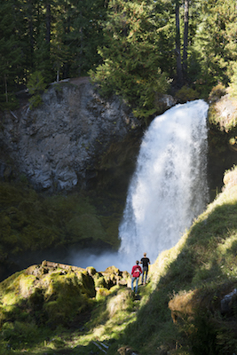
Nonetheless, hundreds of people flock to the river when conditions are right for fishing, rafting, hiking and pure visual enjoyment, such as taking in the view of roaring Sahalie Falls. The river owes much of its upper course to 1,500-year-old lava flows from Belknap crater. In fact, the river disappears beneath the lava for a good stretch before it emerges upriver from Sahalie Falls, the tallest of the three major falls on the river. The other two are Koosah and Tamolitch falls. Sahalie isn’t too far below Clear Lake, but in its brief descent it becomes a roaring torrent. Within feet of the parking lot is an overlook that is wheelchair accessible.
For a longer jaunt along the highway, try the McKenzie River Trail, one of the dozens of trails that traverse this drainage. For mountain bikers, it unfolds twenty-six miles through a lush and verdant canopy. There are shuttle services (during the rideable season) to bring you back to the start of your ride.
The McKenzie River Trail has been described by some cyclists as the top trail in the nation for its passage through an old growth forest, spectacular views and challenging terrain. For lesser terrestrials who travel on foot, well, we’ll just have to settle for spectacular scenery, the freshest air on the planet and a lush riverside environment. The trailhead going downhill is at milepost 2 on the highway, just south of the intersection with Highway 20.
This district of the Willamette National Forest is lush for a reason. Abundant rain falls on the western slopes of the Cascades. The chemistry of sun and rain drives the spectacular greenery. In the morning, the mist rises with the sun and carries a steady bouquet of Douglas fir through the air. If for only that reason, it’s a trip worth taking with the windows cracked.
Marlene Watson, who was tending the till amid the hum of day travelers and rafters, said Belknap is a meeting place for bicyclists, hikers and everyone else who wants a warm soak after their recreational activities.
If you’d like to linger longer, there’s a lodge at Belknap Hot Springs and a few campgrounds, including Coldwater Cave, Ice Cap and Olalie.
Just down the road past the turnoff to Highway 242 (the Old McKenzie Highway’s official name) is Paradise Campground and then the Jenny B. Harris Wayside, operated by Lane County Parks. It’s a great little fouracre park by the river. There’s a walk-in area with access to the river for picnicking, fishing and more. Like many of the other parks and campgrounds along the McKenzie River Highway, it can fill up fast during good weather. Best to plan ahead for your trip.
McKenzie Bridge could be called the central way station for these parts, no matter which trail you take. McKenzie Bridge offers the usual amenities of a highway pit stop, surrounded by the tall trees and high peaks of a peaceful mountain town. You might also consider overnighting here, where the sound of a rippling river will lull you to sleep.
Farther along are the Cougar Hot Springs, officially called Terwilliger Hot Springs. You can find them about eight miles south of the Highway 242 turnoff at about milepost 45. The road to the springs runs to the west of Cougar Reservoir on Aufderheide Scenic Byway, itself a beautiful sixty-mile drive.
The hot springs would be a great secret, but everybody knows about them already. Set in the timbered crevice of a volcanic peak where hot waters bubble up, you can leave the world behind (and your clothing, too) in one of five rustic pools of warm waters. A fee of $6 goes towards maintaining the springs.
There was a brief gold rush in these parts back in the late 1800s, and the town of Blue River is its modern-day descendant. The nearby Lucky Boy Mine brought more than $1 million of gold from the Blue River Mining District during the brief rush. Mining eventually waned near the turn of the twentieth century, and the small community is all that remains.
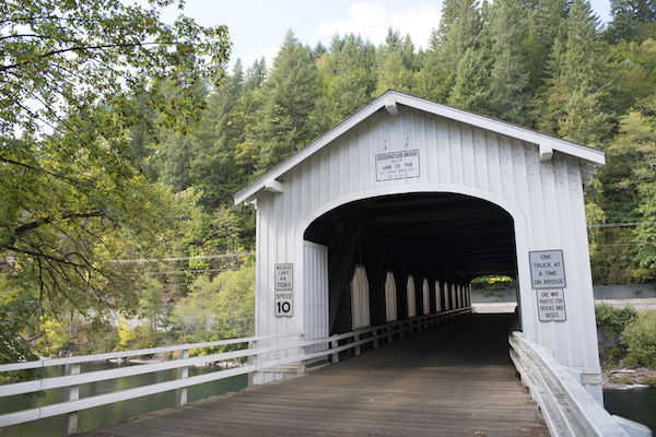
Tunneling through the emerald canopy along the highway, you’ll pass lodges, RV parks, inns, hostels and more, all soliciting your visit along this peaceful and tranquil river. Towns named Finn Rock, Nimrod, Vida and Leaburg pop up. The Goodpasture Covered Bridge lends its majesty to the landscape near Vida. Built in 1938, it’s the second longest covered bridge in Oregon (following the Office Covered Bridge in Westfir) and is on the National Register of Historic Places.
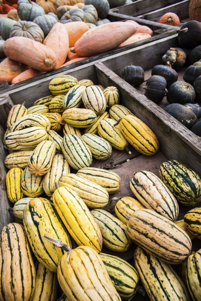
Near Leaburg, take a break at one of the few fruit and vegetable stands along the highway. The Organic Redneck Growers farm stand is open year-round. It features (in season) blueberries, strawberries, beans, cucumbers and other produce, depending on the season. If you don’t find someone like Ellen Johnson behind the counter, just leave your cash there. Johnson said travelers between Eugene and Bend often stop in.
Deerhorn and Walterville finish out the string of communities that line the McKenzie River Highway. These towns are quaint charms in a journey through an enchanting forest on the west slope of the Oregon Cascades.




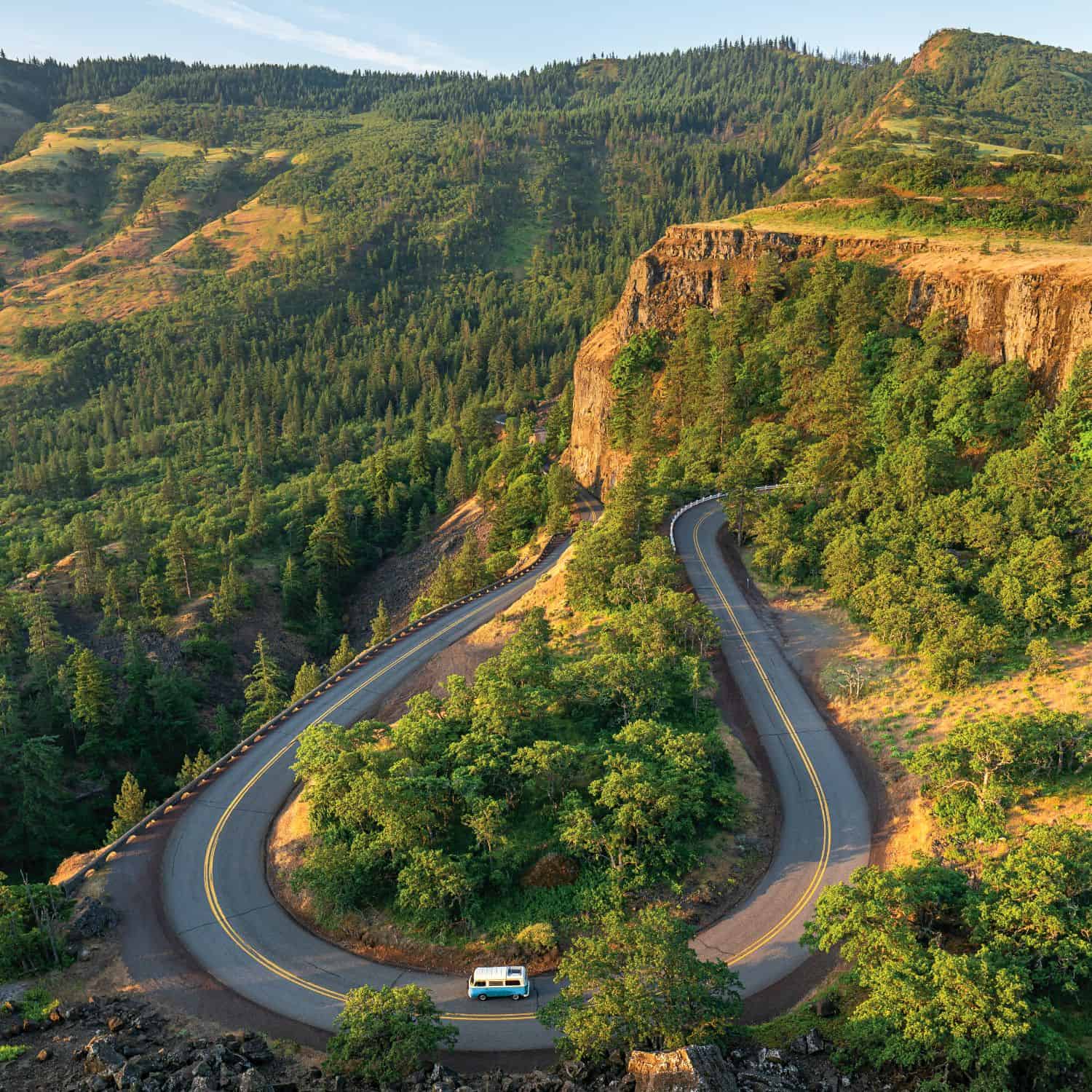

My husband and I made this trip in October. Everything along this highway as we headed east was absolutely breathtaking.