written by Peter Murphy | photos by Talia Galvin
The Sauvie Island Loop is not a loop. Rather, this peaceful redoubt has three main drives with a couple of spurs. The most popular stretch is the 12-mile loop around the lower end of the island that follows Sauvie Island Road, Reeder Road and Gillihan Road. Whether on bike or by car, more than a million people make this trip to Sauvie Island each year.
The loop lies on the south end of the island at the confluence of the Columbia and Willamette rivers. The Sauvie Island Bridge off of Route 30 is the sole access point.
Just over the bridge, a big sign announces the island’s attractions— a pumpkin patch, farms, ducks, geese, fish and flowers. You will find a smattering of options, so find your way and take your time.
Long before Europeans arrived, the Multnomah, a Chinookan band, occupied the upper area of the island. They knew the rich soil grew abundant crops, and wild game populated the wetland. Lewis and Clark arrived in 1805 and called it Wappetoe Island for the tubers harvested by the indigenous people. In the 1830s, Laurent Sauvé, a French Canadian, was hired by Hudson’s Bay Company to manage a dairy farm on the island. Later, Sauvé lent his name to the island.
More white western immigrants came in the 1850s, and the Bybee-Howell House at Howell Territorial Park stands as a remnant of that era. You can reserve a picnic spot in the park through Portland Metro.
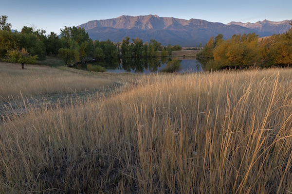
The land becomes more pastoral farther down Loop Road and beyond Reeder Road. It is a secluded place where you can stroll through wetlands on a 2-mile hike suitable for families. (Note: this is one of the few parks, waysides and viewing areas on the island that does not require a parking permit or fee.) Bring your binoculars to spy beavers and birds.
Consider visiting the remote Sauvie Island Lavender Farm. It opens to visitors in June for u-pick fresh-cut English and French lavender. Beyond it is another piece of history, where in 1834 trader Nathaniel Wyatt tried to establish a settlement at Fort William. Finding little success at fishing and trading, he abandoned the outpost in 1836.
Sauvie Island Loop Road dead ends past Reeder Road, so turn around and head back to Reeder Road and then take it north. To the interior is the Sauvie Island Grange No. 840, kennels, a blueberry farm and more.
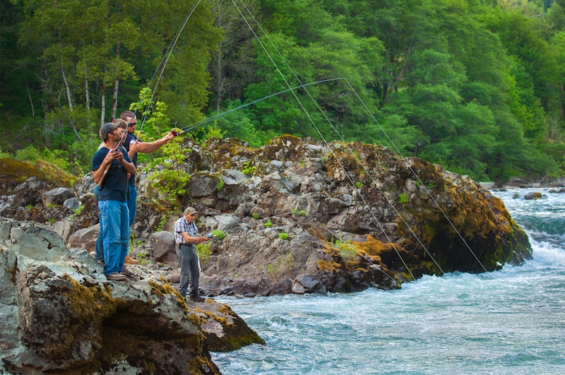
There are four beaches on Sauvie Island designated as wildlife areas. Together they occupy 7 miles of beach access on the island. Willow Bar Beach is at milepost seven on Reeder Road. This is a 2-milelong beach, where bankside anglers catch bright Chinook salmon. If you are seeking an adventure al fresco, there is the clothing- optional Collins Beach, located at milepost 11 on Reeder Road. (This would be a good spot to put away the binoculars.)
Farther down Reeder Road, the wetlands attract a flurry of wildlife activity, with 250 species of birds, fifty-seven species of mammals, twenty-eight species of fish and twenty-three species of amphibians and reptiles.
Past the dike on Reeder Road, you can head east on Gillihan Road. This route takes you past houses, farms and fields near the lush bottomland. From the road, you can see ships’ masts at a distant pier and aircraft in landing formation headed for Portland International Airport. Sauvie Island offers a close respite from the mundane— a wild and beautiful getaway.


