written by Peter Murphy | featured photo by Talia Galvin
I got up with the sun and on the road with coffee in hand. Destination—Grass Valley, a beautiful little mark on the map that serves as the eastern portal through wheat country, timberland and into Oregon folklore.
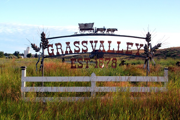
There’s no highway in Oregon that takes you closer to the famed Barlow Road of pioneer days than this one, and its trail of folklore doesn’t stop there. This is a highway that bridges time. From tall timberlands in the west to amber waves of grain in the east, this highway can take you on a jaunt between two worlds.
Topic of morning conversation at the Grass Valley Country Café? How deep wells have to go to find “sweet” water. Eighty-five feet, if you are lucky. Nevertheless, biscuits and gravy require less digging. People from all over stop in the café for this meal, including motorcycle riders, rock hounds, history buffs and folks on their way to ghost towns in Oregon. “When the highway is busy, I’m busy,” said Donnette Hendricks, who has owned the café for about nine years.
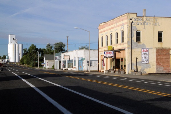
With the sun at my back and adventure ahead, I drive off into the waves of wheat on what seems to be a golden carpet ride. Amid crests and troughs of soft white wheat are patches of what look like an old-time landscape in these parts—tumbleweeds, wild grasses and scrubland. This contrast reveals the transformation by human hands across this countryside, where farmers coax a staple crop out of a hardscrabble land. Much of this wheat is destined for Asia, where it’s kneaded and turned into noodles.
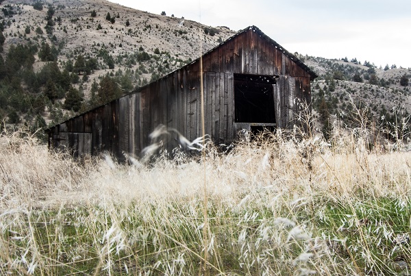
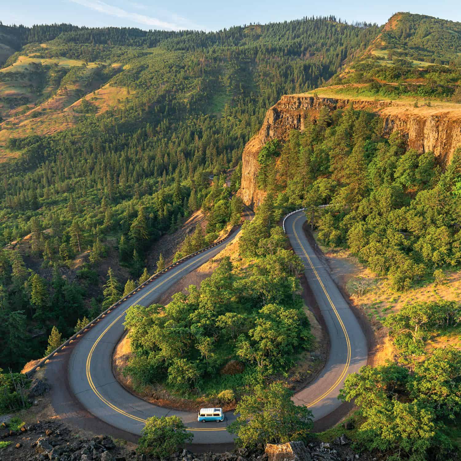
The wheat crop grows atop ancient lava flows that oozed across these parts eons ago. You can see the layers and appendages it formed as the highway snakes down towards the Deschutes River Canyon. This is the site of Wapinitia, the namesake for the highway and Sherars Bridge over Sherars Falls. It’s the final falls over the Deschutes River (or first, for a fish swimming upstream) and a magnet for anglers. The prominence of migrating salmon, trout and steelhead has made this spot popular since American Indians first arrived in the area. The fishing platforms of Indian descendants still stand over churning pools.
White River Falls State Park is just off the highway and has a stunning view of the cascading White River, with its ninety-foot falls. Here, you get a true sense of the natural forces that carved this region. A historic hydroelectric plant at its base tells the story of people learning to harness that power.
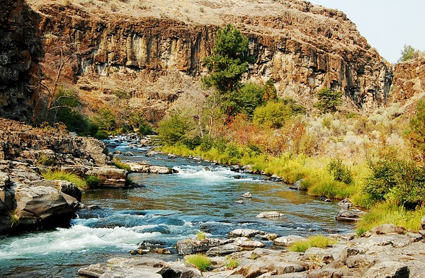
In 1845, Sam Barlow came to these parts, south of The Dalles, where highways 216 and 197 now meet in the picturesque Tygh Valley. These settlers were faced with riding the treacherous Columbia River rapids to the Willamette Valley or finding a safer passage through dense forests at the foot of Mt. Hood. The stubborn, determined Barlow reportedly said, “God never made a mountain that he didn’t make a way to get over it.” An emigrant heading west from Indiana named Joel Palmer learned about Barlow from Indians in The Dalles. He joined Barlow in cutting and burning their way across the southern shoulder of Mt. Hood, carving a pay-as-you-go toll road to the Willamette Valley.
In 1846, the Barlow Road came into being. Some historians say it started here in Tygh Valley, near the western leg of today’s Highway 216. Nonetheless, this road shadows the bygone route closely. Palmer went on to settle in what is now Dayton, where the historic Joel Palmer House bears his family legacy.

The Barlow Road’s original toll was five dollars for a wagon, plus one dollar for each person and head of livestock. Today, a signpost marking the Barlow Road legacy and the grave of a lone pioneer woman are to the northwest of Highway 216’s western edge. This is where the original Barlow Road surmounted the southeastern slope of Mt. Hood.
Highway 216 pairs with Highway 197 south from Tygh along the westward trek toward Mt. Hood, ending just shy of Government Camp. The same rolling landscape is where Barlow and other pioneers saw opportunity and where farmers raise wheat today.
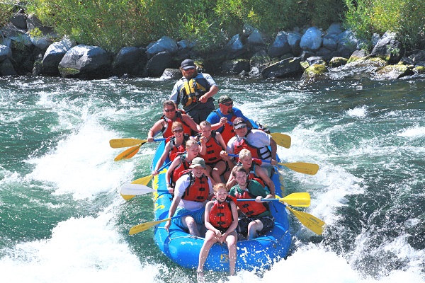
Soon the wheat fields give way to timber at the foot of the Cascades, where Walters Corner caters to travelers. It’s a good spot to take a break, top off your gas tank, and grab a soda or coffee. Proprietor Eugene Walters has served customers here for forty-one years. “Not as many as there used to be,” Walters noted. Typically, the patrons are en route to the historic ghost towns or to Maupin for river rafting and fishing, Walters said.
Here on the eastern slope of Mt. Hood, you’ll pass through tall timbered corridors and by the campgrounds of the Mt. Hood National Forest. You can travel this highway in a couple of hours, but if you slow down and imagine, you’ll go back in time along Sam Barlow’s route, Oregon’s first toll road.





Thank you for the Highway 216. It brought back wonderful memories when I took my two sons on adventures in Oregon. I wanted them to know about their home state. I still remember their Mom where is McDonalds we would like breakfast. Pointed out the restaraunt in Grass Valley….they thought it the coolest….until in our travels we hit all the little towns on Sunday. Only doors open were the Churches. A beautiful education, amazing memories to treasure. They take their friends on these tours now…forgetting all the awww Mom not against.