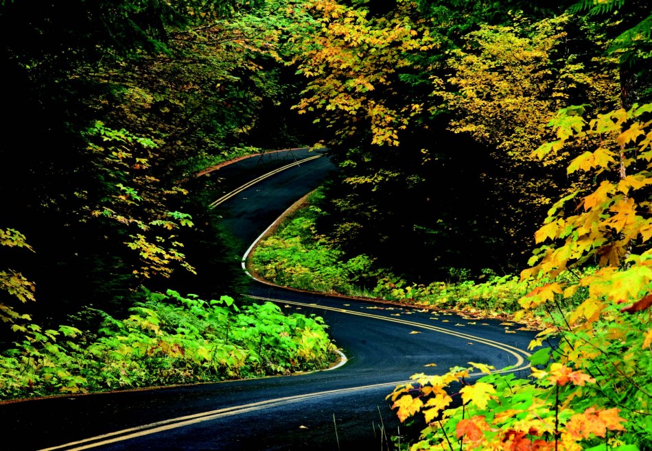
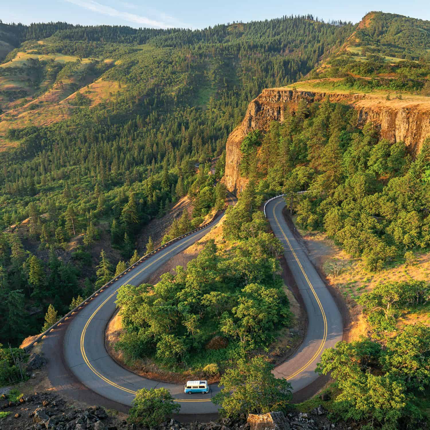
Also known as Oregon 126, McKenzie River Highway links coast to Cascades. The ninety-mile stretch follows the icy blue McKenzie, taking travelers through green tunnels of Douglas firs, past snow-capped peaks, along the worn valley of the river’s watershed and through fields of volcanic rock. The landscape changes by the mile marker, but the swift flowing river remains.From Hoodoo to Eugene, the McKenzie River Highway provides access to ski resorts, bike trails, waterfalls, rafting, fishing, hot springs and a multitude of other outdoor adventures. In Sisters, U.S. 20 and Highway 126 converge, winding through the burnt foothills of the Deschutes National Forest, the sharp peak of Mt.Washington dominating the western skyline. McKenzie Highway splits from U.S. 20, heading south into the Willamette National Forest, where the road passes Clear Lake, the headwaters for the McKenzie.The road then heads due west, crisscrossing the river along the way until the water spills into the Willamette River in Eugene.
McKenzie River National Recreation Trail
The trail that runs through the McKenzie River National Recreation area is twenty-six miles in length, although there are many jumping-on or jumping-off points along the path. The trail crosses over several tributaries of the McKenzie River via log bridges, leading hikers and riders past Clear Lake and some of the McKenzie’s spectacular waterfalls. The lower part of the trail directs you through 600-year-old Douglas fir forests. As the trail heads north, advanced skills or more guts are needed to traverse the rocky lava fields and steeper incline.
Flooding
The Christmas Flood of 1964 is commonly remembered as one of the most devastating floods in the history of Oregon. During the Christmas Flood of 1964, Central Oregon received two-thirds of the yearly rainfall in just two weeks. Rivers rose well beyond their banks. In February of 1996, the combination of excess snow and rainwater caused the McKenzie River (around Vida) to jump from the normal 4,000 cubic feet per second to more than 20,000 cubic feet per second.
Belknap Bridge and Hot Springs
Instead of replacing a ferry rope that would have cost him $80, James H. Belknap—who operated a ferry across the McKenzie from 1860-1880—decided to build a bridge. His original structure was a covered wooden bridge spanning 125 feet. The current Belknap Bridge is the fourth version of Belknap’s structure, the third of which was destroyed in the Christmas Flood of 1964.
Belknap’s father, R.S. Belknap, claimed land near his son. His property included a steaming spring of mineral water. In 1872, Belknap, the senior, opened a hotel and mineral bath resort. The medicinal properties of the hot springs were advertised in the Eugene State Journal as having been “tested by the cure of those who have visited them who have been afflicted with various diseases particularly Female Weakness …” A century later, Belknap Springs was remodeled to reflect its previous grandeur. Now it is open 365 days a year and offers a luxurious array of cabins, gardens and, of course, mineral baths.
Sahalie and Koosah Falls
Originally known as Upper Falls, in 1933 a U.S. Forest Service employee suggested the name be changed to the Chinook word Sahalie, meaning “above, heaven, celestial or uppermost” The water crashes over a 100-foot drop into a breathtakingly blue pool. Take a short walk downstream to Koosah Falls for an equally impressive sight as tons of water per second flood the edge of the lava waterfall.
Aufderheide National Scenic Byway
One of the nation’s first 50 National Scenic Byways, Aufderheide connects highways 126 and 58 and runs through the Willamette National Forest along both the McKenzie and Willamette rivers. Due to weather, the road is generally closed from November to April. A common destination and a worthwhile stop along the road is Terwillinger hot springs, near Cougar Reservoir. These hot springs
are made up of four pools, cooling as they tier farther from the source.
Filberts in Oregon
Although it doesn’t sound like an appealing title, in 1989 hazelnuts became Oregon’s official state nut. Oregon (mainly in the Willamette Valley) grows ninety-nine percent of all U.S. filberts (commonly known as hazelnuts), and produces three percent of the world’s hazelnuts. Oregon’s oldest working filbert farm, Dorris Ranch, is located just south of the McKenzie River Highway. Listed on the National Register of Historic Places, the farm is home to 9,250 filbert trees and is open to the public year round.


