written by Eric Flowers
We set out to assemble a list of must-do hikes. We had one goal: to put together a line-up that represented the state’s vast geological diversity. That’s a tall order in a state where the variety of terrain and ecology is nearly unrivaled. From the Snake River Gorge to the high desert steppe of Eastern Oregon to the lush rainforest of the Coastal Range and the rugged, unspoiled Oregon coastline, this is a hiker’s paradise. What we’ve assembled is a snapshot that offers trekkers a sampling of the incredible hiking that awaits just outside their back door—or farther afield. From heart-pumping hikes to casual strolls, there’s something here to satisfy every Oregon outdoor enthusiast.
Central Oregon | Scout Camp, Middle Deschutes

A seldom traveled three-mile loop trail located just a few miles outside of Redmond in the proposed Whychus-Deschutes Wilderness, the Scout Camp trail drops from the rim of the Deschutes River canyon and down to the river, where it parallels the water for more than a mile. “It’s a really spectacular trail the whole way. A great short loop,” says Gena Goodman-Campbell, the Central Oregon wilderness coordinator for the Bend-based Oregon Natural Desert Association (ONDA) that is seeking permanent protection from development and motorized recreation for the area’s nearly 19,000 acres. Dramatic basalt geology and abundant spring wildflowers— combined with a more than 1,000-foot elevation change— makes this hike a combination of scenic and strenuous.
Eastern Oregon | Sutton Mountain, Lower John Day River
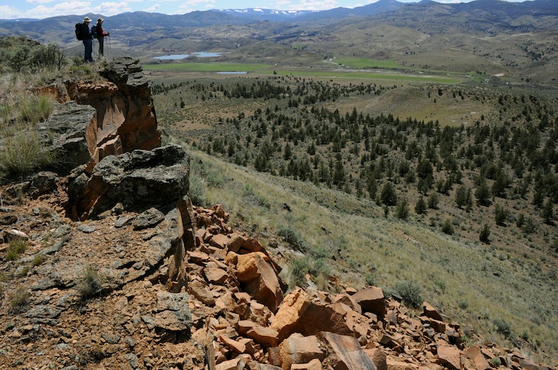
This proposed wilderness area—adjacent to the Painted Hills National Monument—contains hundreds of miles of established and backcountry hiking opportunities. “It’s the perfect spot to seek solitude,” says Ben Gordon, ONDA’s John Day Coordinator, who is working to preserve the area, along with several adjacent tracts totaling nearly 60,000 acres along the lower John Day River. Hikers can access the Sutton Mountain trailhead off state highway 207 north of Mitchell. While the approach to the summit may lack some of the dramatic appeal of Oregon’s signature mountain hikes, the payoff is the unparalleled vista from a perch atop eons-old basalt cliffs with views of the John Day basin and nearby Painted Hills. Here’s where the region’s geologic history reveals itself in postcard perfection.
Central Coast Range | Kings Mountain, Tillamook State Forest
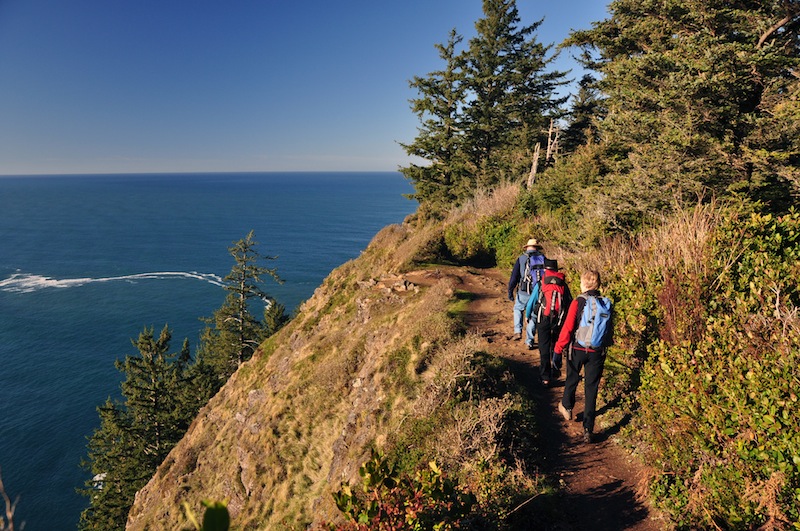
A challenging hike by almost any measure, the Kings Mountain trail climbs roughly 2,500 feet over two-and-a-half miles through the Tillamook State Forest, and is a popular springtime hike with locals and tourists alike, says Randy Peterson, recreation and trails manager with the Tillamook State Forest. The payoff is sweeping views of the Coastal Range and Wilson River valley from the summit. On a clear day, it’s possible to catch a distant glimpse of the ocean from the 3,200-foot peak, according to Peterson. Hikers looking to add to the challenge can continue on to nearby Elk Mountain via a connecting trail that is best for experienced and fit hikers.
Southern Oregon | North Umpqua River Trail, Susan Creek, Panther Section
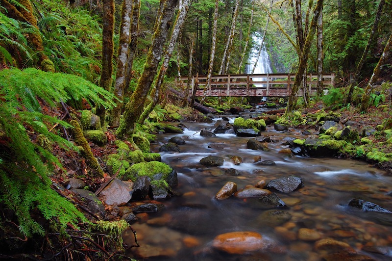
A world-famous mountain biking route, this North Umpqua trail is also enjoyed at a slower pace as it snakes through an old growth forest along the surging blue-green waters of this iconic river. Thanks to a new pedestrian bridge just west of Susan Creek, hikers can now readily access a stretch of the Panther Section between Wright Creek and Swiftwater Bridge, according to Patricia Lee, a managing partner at the nearby Steamboat Inn. Take a detour before or after your hike to see Susan Creek Falls on the north side of the highway. A half-mile trail leads hikers to the falls that drop fifty feet through a lush, emerald forest. Continue another half mile on a steep trail to find the historic Indian mounds where adolescent Umpqua Indians would erect stone piles to summon guiding spirits during overnight vision quests.




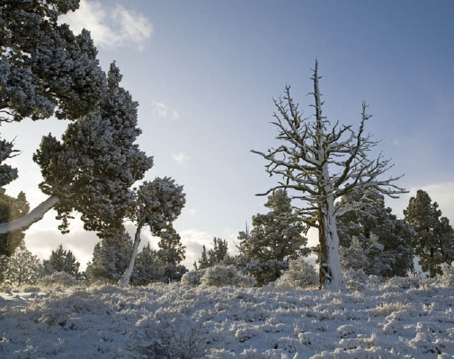

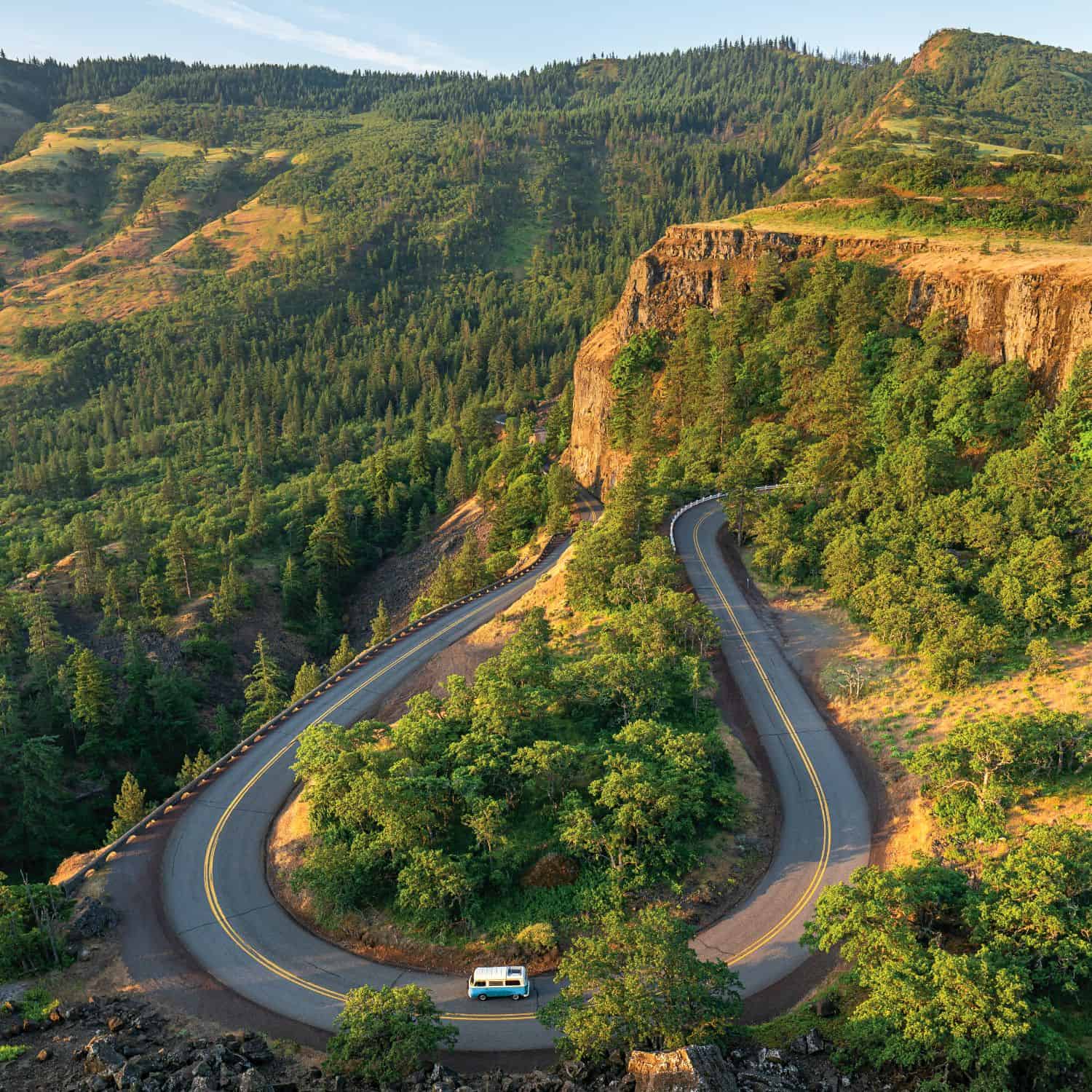

That photo was definitely not taken on King Mountain. Looks more like the view from the Cape Lookout trail.
A friendly correction to this article: It is the Tioga section, NOT the Panther section of the North Umpqua Trail that the new foot bridge across the North Umpqua River provides access to. Specifically, since the foot bridge effectively created a new access point to the trail, they renamed the western section of the trail east of the foot bridge Swiftwater, after the park area from which the trail officially begins. The section east of the foot bridge retains the name Tioga. As for the Panther section, this lies further east upriver.
I am a local and have hiked the entire 79 mile trail, some sections more than once. Each section has it’s own beautiful, unique personality.
My correction needs correction: Should read “…they renamed the western section of the trail WEST of the foot bridge Swiftwater…” (I mistakenly said east of the footbridge. And now MY face is red…)
The third photo is really stunning, but is the location actually correct? That doesn't look like a 'distant glimpse of the ocean'…